

Dive Brief:
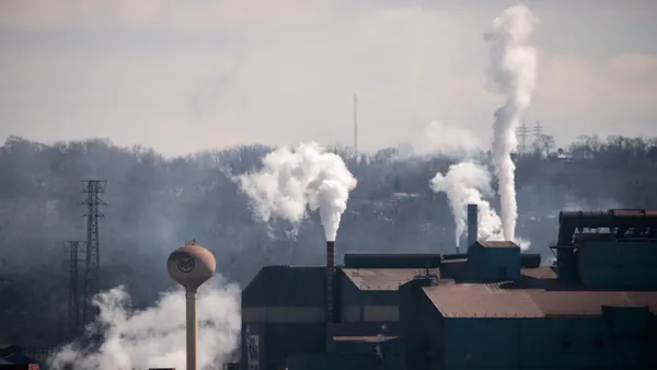
- A new dataset called the Industrial Equity Mapper by Industrious Labs shows that about 240 million people, or about two in three Americans, live in the same county as a major emitting industrial facility.
- The 10 counties with the highest concentration of large polluting facilities are home to communities that are 75% Black, indigenous or people of color, which is nearly double the national average, Industrious Labs said in a news release. Poverty rates in these counties are also considerably higher than the national average.
- People living in the top 10 counties or equivalent regions are at higher risk for long-term respiratory illness and cancer due to elevated particulate matter, nitrogen oxides and other pollutants, according to Industrious Labs.
Dive Insight:
The new data comes as federal policy has shifted regarding industrial emissions, environmental justice programs and climate change.
The Biden administration poured millions of dollars into such programs, noting that many Americans face a disproportionate amount of pollution and health impacts due to long-term racial inequities. The U.S. EPA also published an online library of environmental justice resources for advocates and stakeholders.
However, the Trump administration in March 2025 terminated environmental justice programs and monitoring tools that had been used to track the environmental impact of industrial facilities, calling such programs “forced discrimination.” Even thought some environmental justice staff were later reinstated, environmental groups have said it is unclear what these people will be allowed to do.
Industrious Labs cited a “massive rollback of clean air protections and measures to protect environmental justice communities from pollution” in its recent report.
It noted the EPA has taken offline EJScreen, a tool which helped communities and researchers see where pollution and demographic burdens overlap. Earlier this year, the New York Times reported that the agency would stop considering economic benefits related to human health when setting limits on fine particulate matter and ozone.
“This tool fills a critical gap in what the EPA and the Trump administration choose to ignore — the quantitative raw facts and real life stories of the health and economic realities faced by people living near industrial facilities and pollution,” Victoria Chu, a partner at Industrious Labs, said in a statement. “The Industrial Equity Mapper puts that pattern on the map, county by county, so residents, regulators, and policymakers can hold industry accountable and prove there's a better way to operate.”
The Industrial Equity Mapper examines 36 regions in depth and provides “a data and storytelling tool that draws on health, demographic, economic and pollution data alongside dozens of interviews with people living in industrial communities across the country,” the group said.
According to the data, the top 10 regions with the highest concentration of industrial facilities are: Harris County, Texas; Jefferson County, Texas; Los Angeles County, California; Cook County, Illinois; Calcasieu Parish, Louisianna; Ascension Parish, Louisiana; Wayne County, Michigan; San Bernardino County, California; Lake County, Indiana; and Brazoria County, Texas.
The map also highlights community groups advocating for greater transparency into facility emissions, residents installing air monitors to supplement government oversight and coalitions trying to get businesses to adopt cleaner technologies.